Technical Inspections and Advanced Monitoring
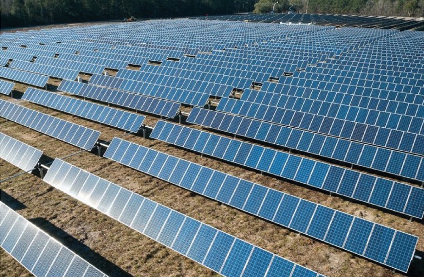
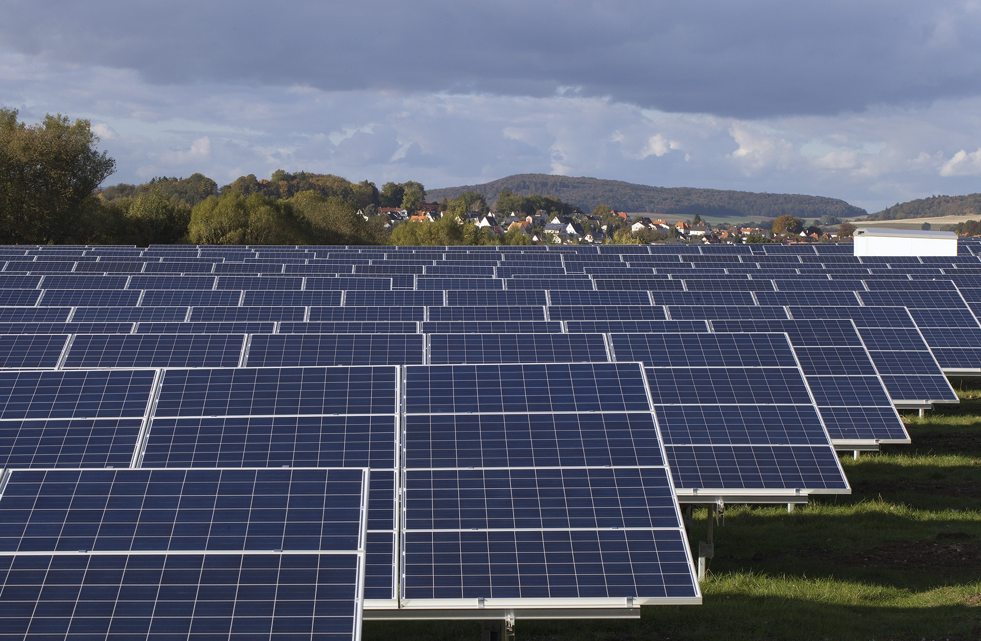
The Galileo Drone Squad stands out for its expertise in high-precision aerial inspections of industrial infrastructure, energy plants, logistics areas, and complex environments.
Thanks to our pilots’ certification at Open A1-A3, A2, and Specific STS-01 and STS-02 levels, we operate in critical contexts, both in urban areas and in sensitive areas, ensuring maximum operational safety and compliance with current regulations.
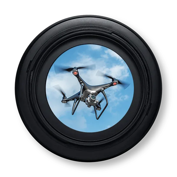
Our drones, equipped with high-definition thermal, multispectral, and optical sensors, can identify anomalies and monitor the condition of structures and equipment, supporting predictive maintenance activities and contributing to significant time and cost savings compared to traditional methods.

Aerial Surveys, 3D Mapping, and Geospatial Analysis
The Galileo Drone Squad specializes in topographic surveys, 3D mapping, and the creation of digital terrain models (DTM/DSM) to support engineering, urban planning, precision agriculture, and environmental management projects.
Using advanced photogrammetric technologies and GIS software, we provide precise geospatial data that can be easily integrated into our clients’ processes.
Our services are ideal for feasibility studies, infrastructure projects, construction site monitoring, and hydrogeological risk analysis, offering a detailed and up-to-date view of the territory.


